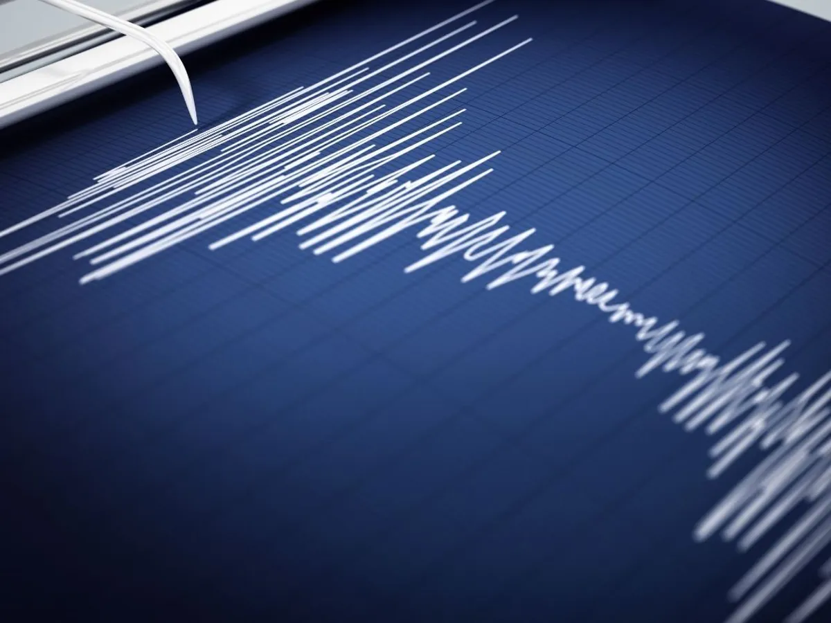
Two earthquakes shook northern Venezuela on June 24, 2026, killing more than 1,430 people and leaving over 50,000 missing. The first quake, magnitude 7.2, struck at 6:04 p.m. local time from a depth of 21.9 kilometers. Thirty-nine seconds later, a magnitude 7.5 quake hit from just 10 kilometers deep, roughly 5 kilometers from the first epicenter in the Yumare-Morón region of Yaracuy State. The tremors were the strongest to strike Venezuela since 1900, breaking a 126-year seismic gap.
The deadliest damage occurred in La Guaira, the Caracas districts of Los Palos Grandes and Altamira, and Morón. Dozens of buildings collapsed. "Dozens of buildings have collapsed, and we are currently carrying out very intense rescue efforts to save as many lives as God allows us to save," said Delcy Rodríguez, Venezuela's interim president. A tsunami warning was issued for the Caribbean but later withdrawn. By June 26, over 3,200 were injured, and authorities had recorded 302 aftershocks, including one measuring magnitude 4.9.
At least 19 foreign nationals were confirmed dead: 9 Portuguese, 5 Spanish, 2 Brazilian, 2 Chinese, and 1 Italian-Venezuelan. Hundreds of Portuguese and Spanish citizens remained unaccounted for, illustrating the difficulty of tallying casualties across borders.
Why so many deaths?
Collapsed buildings killed most of the victims. The PAGER system, a U.S. Geological Survey tool, estimates mortality risk based on building vulnerability and population density, not actual body counts. For the magnitude 7.5 quake, PAGER calculated a 44 percent probability that deaths would fall between 10,000 and 100,000, with a 23 percent probability of exceeding that upper bound. The 100,000 figure circulating in news headlines represents the ceiling of this probabilistic model, not a confirmed count.
Two conditions compounded the damage. About 80 percent of Venezuela's population lives in earthquake-prone zones, many in structures built without seismic standards. Caracas itself sits atop a deep sediment basin that amplifies seismic waves, raising ground shaking intensity above what would occur on bedrock. The magnitude 7.5 quake, releasing roughly 2.8 times more energy than the magnitude 7.2, struck buildings already fractured and weakened by the first quake just 39 seconds earlier, before structural reinforcement could be deployed.
"We have more than 50,000 people missing, more than 500 people dead, so much work to sift through rubble," said Tom Fletcher, U.N. Deputy Secretary-General for humanitarian affairs.
The San Sebastián fault and its similarity to San Andreas
The earthquake occurred along the San Sebastián fault system, a strike-slip (or transform) boundary where the Caribbean and South American plates slide horizontally past each other at a rate of about 20 millimeters per year. The mechanism closely parallels California's San Andreas fault.
"The faults involved in Venezuela's earthquake and California's San Andreas are very similar. They are known as transform faults, where this strike-slip motion happens as plates slide horizontally past each other," said Sylvain Barbot, a professor of Earth science at USC Dornsife.
Seismologist Lucy Jones concurred: "What happened in Venezuela was movement on their plate boundary strike-slip fault. That is what the San Andreas is."
The comparison has seized U.S. scientists' focus because the southern segment of the San Andreas is said to be under the highest stress level recorded in at least 1,000 years, moving at roughly 30 millimeters per year, approaching the San Sebastián rate. Venezuela now serves as a concrete case study for what can happen when similar strain is suddenly released. Experts dismiss speculation that Venezuela's quake triggered other large earthquakes across different plate boundaries in the region: such events occur on separate plates.
Barbot cautioned that risk persists long after tremors stop: the months to years following a major quake carry elevated risk of landslides during the coming rainy season.
What does it mean for Indonesia?
Venezuela's seismic threat differs from Indonesia's. The San Sebastián fault is a strike-slip boundary; Indonesia's dominant threat comes from 14 megathrust subduction zones encircling the archipelago, capable of magnitude 8.0 to 9.0 quakes and triggering tsunamis. The 2024 Seismic Hazard Map documents this full range of risk.
Yet the pattern of building vulnerability matches. Even in June 2026, Indonesia has faced a magnitude 6.7 quake in Palu along the Sausu Fault on June 16 and a magnitude 7.7 quake in the Sulawesi Sea that spawned a tsunami in Sangihe. Civil engineers emphasize that construction quality and disaster mitigation capacity, not magnitude alone, determine casualty counts. Japan, which experiences quakes of comparable scale, suffers far fewer deaths, underscoring this principle.
Jakarta, like Caracas, sits atop a thick sediment basin that amplifies seismic waves. The current gap between reports of "50,000 missing" and the lower official government count will narrow as debris is inventoried, ultimately testing how accurately PAGER's probabilistic model reflects real-world mortality.